Saturday, November 3, 2012

Great Marsh Glimpses: Rough Meadows.

The Great Marsh by Martin Johnson Heade.

The Great Marsh extends from the New Hampshire border at the Merrimack mouth to a southern rampart made by Cape Ann. Its bulwarks against the open ocean consist of two chunky barrier strips, Plum Island and Cranes Beach.


The quieter space behind these barriers makes for an outstanding fish nursery, which, in it's turn attracts all manner of food chain participants. 

Another point of wonder is that much of it is fairly intact from encroachment by pollution and invasive species. It has its problems and is vulnerable to rising water that will likely accompany global warming. 

And then, there is the degree of excitement shared by the array of organizations that are converging attend to this bit of grandeur. I went up to that area in September to just cover the basic run of the Bay Circuit Trail from Joppa Flats to the Rowley commuter rail station. 

On a whim, I imposed myself on the volunteer staff at Joppa Flats and was taken by their excitement about the overall collaboration and the recent opening of the Rough Meadows Wildlife Sanctuary in the heart of it. I left with a Massachusetts Audubon membership renewal, (it's been years), a pile of printed material and an urge to follow up on the prompting of the gracious staff to explore the place.
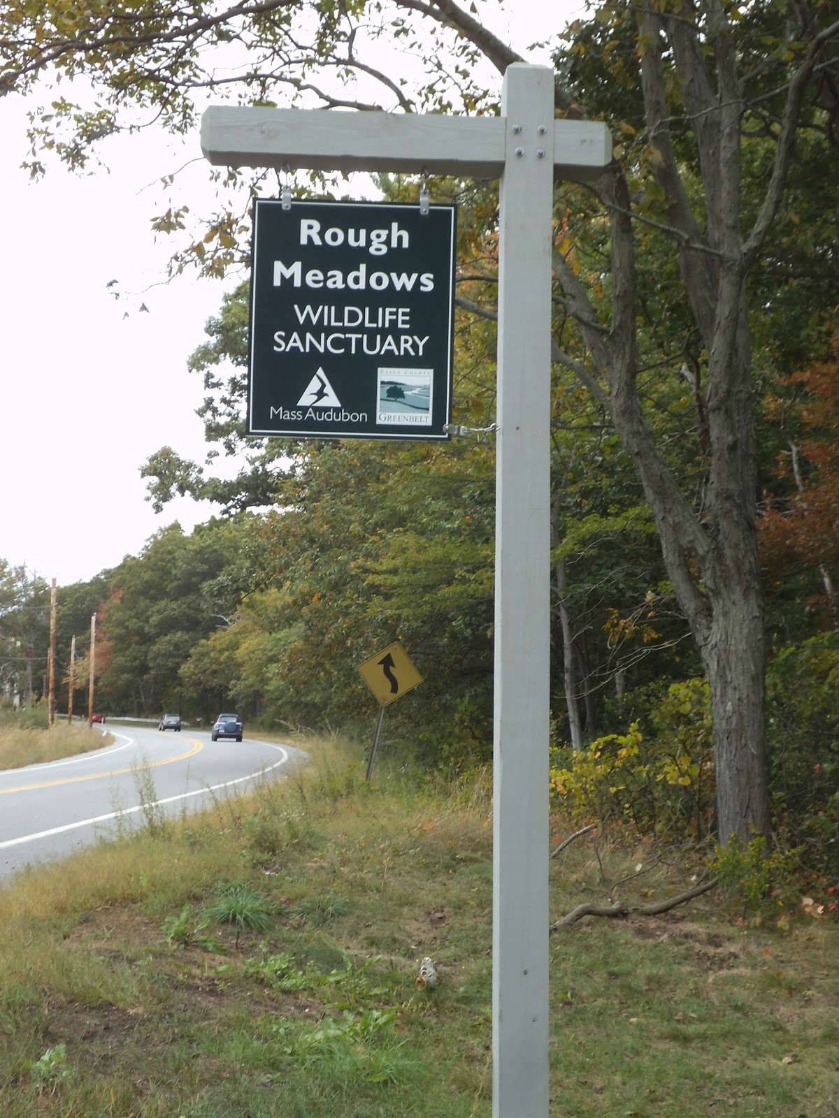


I was back by the first of October, just at the cusp of the highest monthly tides. I was oblivious to tide timing and walked to the Sawyer Island parcel of the Essex County Greenbelt Association, all the way at the end of the road, first.


These properties belonged to Professor Alfred D Chandler Jr. and became his legacy contribution to this grand undertaking.

"Al loved to hunt, and he was a very good shot. During duck season, he could be found at daybreak in the marshes, then back in his study at midday, then back in the marshes."


The main access road into the Sanctuary passes along a stretch that can be immersed in high tide and so I found myself waiting for it to recede. 


It was an agreeable mission as it forced me to take long bemused looks around and discover things like Salicornia gravid from the brackish water. I also saw a fairly dense mass of infant fish feeding on algae. 

Once the tide let me pass I was free to follow Professor Chandler's Long Walk to its overlook spot to take in the demure vastness of it all.


On the way back I took in the Hickory Trail and Appy's Way. I'll return some day to explore the Sassafras Trail and The Kestral Trail. 

All in all it is an outstanding introduction to the quiet side of the Great Marsh.

Sunday, October 21, 2012

Bay Circuit Trail: Bedford MA Narrow Gauge Rail Trail.


The Narrow Gauge Rail Trail section of the Bay Circuit may well be one of its most striking success stories. 

I took a hike there on 9/11 as Benghazi was aflame and I was stunned to see how vivacious it is on a late summer Tuesday. And it threads through some fairly affluent home areas with a general sense that the trail is a cherished amenity that adds value.

This value is further increased by the run of abutting conservation areas one can visit along the upper two thirds of the route.

Buehler Ponds Conservation Area is the northernmost gift along the trail.


"The Buehler Ponds Conservation Area includes a a 6.4-acre parcel purchased in 1978 with State Self-Help funding and an adjoining 3-acre parcel acquired as a gift in 1987. The .96-acre Lane Farm Conservation Area was donated in 2008, and includes a portion of the upper pond shore and trail. Located adjacent to the north-south railroad bed, these sites contains upland forest, two man-made ponds, gneiss bedrock outcrops marked by glacial scupting, and trails leading around the ponds and south to Job Lane School."

Courtesy of the Bedford Conservation Commission.

The Bay Circuit joins the rail bed from the east via the Governor Winthrop parcel, a short distance south of the Buehler trailhead.

The middle section of the trail begins at Fawn Lake when you are heading south.


"The most visible and valuable conservation area in Bedford owes its popularity to the park-like setting with trails around a 12-acre pond, 2-acre lawn and 25-acre forest, purchased in 1979 with State Self-Help funding. The gift of the 3.5-acre Sheldon Conservation Area in 1992 established a valuable 2.3-acre buffer between Fawn Lake and nearby residential areas. A shrub swamp on the property provides habitat quite different from the Fawn Lake area, and preservation of woodland and swamp on the side of the railroad bed opposite Fawn Lake is extremely important to preservation of the pond's visual attraction.


Fawn Lake's interesting past as a mineral springs health resort and early pharmaceutical center reminds the visitor that the lake has been a scenic and restorative attraction for over a century. Traces of the old mineral springs remain, but present use is more likely to be fishing, boating or strolling around the shore. Native vegetation predominates, and the shore is one of the best places in Bedford to see mountain laurel. Also scattered throughout the site are grand examples of former landscaping, such as Japanese maple, magnolia, wisteria and rhododendron. Parking is available on Sweetwater Avenue or the railroad bed."


Further south, the rail bed passes the Murray Otis York Conservation Area.


"This property was purchased by the Town in 1963 as surplus land from the federal government; partial reimbursement was acquired as Bedford's first State Self-Help Project. The land was conveyed for conservation use, and for some years the Town was required to report to the U.S. Department of the Interior on its status and maintenance. The land contains mature forest and both wooded and open wetland areas. York is accessible from the north-south railroad bed. New trails have been developed and bog bridges have been installed over the wetter areas."
Courtesy of the Bedford Conservation Commission.

Heading south from there, the Bay Circuit departs to cross Bedford center before joining the Reformatory Branch Trail while the Narrow Gauge Rail Trail has a smooth and seamless course to the grand trail junction at Bedford Depot and the Minuteman Bikeway.

Sunday, October 7, 2012

Andover Trail Annals: The Petals of Ballardvale.


Andover has such a long resonance in the echo of my memory that I return to it periodically. One of the high points of my summer was a series of trips to an interesting cluster of conservation parcels grouped around the Ballardvale Commuter Rail station like petals of a flower with the station as the disk. 


The Andover Village Improvement Society parcel, the Vale Reservation, has a trailhead right at the station parking lot. The other three are Conservation Commission parcels and nearly as close. All are valuable support elements for the Shawsheen River.

Vale is on the northwestern side of the Shawsheen with the Pomps Pond/Foster's Island parcel on the opposite bank. 

It leads to the Shawsheen River Reservation to the north and is blessed with a number of elegant and very well constructed boardwalks that get you into stunning wetland epicenters.


Last year saw the addition of a striking and super sturdy truss bridge. The Andover Trails Committee collaborates with AVIS to craft these unique amenities with avid volunteer work.


Pomps Pond was a homestead for a freed slave named Pompey.

"The current name of Pomp's Pond refers to Pompey Lovejoy, a freed slave who built a cabin near the pond on Abbot Road, fished, and farmed nearby land. Pompey Lovejoy died in the 1820s, over a hundred years old."

Courtesy of the Andover Trails Committee.


To the southeast of the station, you'll find Pole Hill, the site of an early leisure travel destination for summer picnics and concerts at the turn of the 20th century.

"At the turn of the century, this area was known as “The Grove”. It boasted a picnic area and a dance hall and attracted people from all over. The Boston and Maine Railroad even had a siding at Pole Hill to accommodate the dancers. There were three camps along the Shawsheen River, one of which served as a refreshment stand. 

When the river was higher, canoes could be rented in Ballardvale for a romantic paddle upstream to “The Grove”. But Pole Hill’s history is not only of good times; after a murder was committed here, the dance hall was closed for good."

Courtesy of the Andover Trails Committee.


And the southwest is home to Serio's Grove, a childhood swimming hole for Jay Leno.

"The Serio family, Frank Sr. and his wife Theresa, moved from Malden in 1932 to a site “off Lowell Junction Rd.” The home had no phone, electricity, or water. Electricity came in about 1935. At the time of their move the property was mostly open land, nothing like the forest that has grown up during the intervening 40 or so years.

Frank Serio Sr. was given recognition as one of the town’s early environmentalists. Soon after moving in he became concerned about the industrial soap being dumped into the river from an upstream chemical company. Through his efforts a plan was developed by the company to eliminate the pollution.

Because of his interests in the environment the Conservation Commission decided to honor Frank Sr. by naming the property after him. In 2008 the property was officially named “Serio’s Grove”. A dedication ceremony was held on the property with many Serio relatives in attendance. Jay Leno, an Andover native who use to rent canoes from Frank Serio Sr. back when Jay was a young boy, sent a DVD to this event congratulating the Serio family."

Courtesy of the Andover Trails Committee.


The group of properties, along with others in the vicinity, can be explored over the course of a day and they are a kaleidoscopic whirl of ecotones.


"Bottle" Gentian in Serio's Grove.