Showing posts with label Sharon MA. Show all posts

Sunday, November 30, 2014

Bay Circuit Trail : Sharon MA Beaver Brook.


Beaver Brook carries the Bay Circuit Trail south of Moose Hill and the trail meanders wonderfully through it.


It passes  along the Boston to New York passenger rail corridor offering glimpses of Amtrak and commuter rail.

Monday, August 20, 2012

Bay Circuit Trail: Walpole to Sharon Commuter Rail Loop.

Old Sawmill Pond, Walpole Town Forest

The Bay Circuit Trail and the Neponset River watershed intertwine gloriously here where commuter rail enables one of the more outstanding hikes in the system.


I've come to agree with Colonel Powell that the watershed may well be the primary unit of geographic organization and will increasingly orient content along that bearing.


I initially planned to enter the hike from Sharon and take it to Walpole but I ended up switching to follow the alignment of the trail description


This worked really well as you start from the river basin areas of Walpole and gradually rise to Moose Hill in Sharon.


Along the Bluffs Trail, Moose Hill Wildlife Sanctuary.

Another great facet of it is how the array of places along the route offer something for many diverse constituents. The extensive Town Forest tracts in Walpole work very well for trail running and biking while the more restricted portions in the Massachusetts Audubon Society lands are veritable area nature cathedrals.


The hike is generally relatively easy to follow and trail marking is particularly impeccable in Sharon, where the Warner Trail joins the Bay Circuit . I noticed that it shares a basic sandy soil matrix with Kingston on the coast suggesting the deposition patterns of relatively rapid glacial retreat that make an underpinning for the southern Bay Circuit's distinct array of ecotones.

The walk to the Sharon commuter rail station from Moose Hill is all down hill.


Courtesy Massachusetts Dept. of Conservation and Recreation.

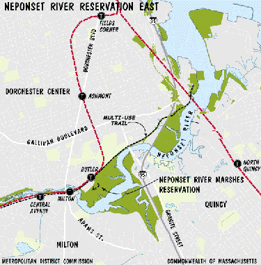
The Neponset Estuary is also well lined with reservations and tracts and is an outstanding easy day visit by subway. It provides a great sense of basic riparian continuity dating back to the 1600s.


Neponset Estuary at Granite St Bridge.


There is a plan underway to join these elements until the Neponset Trail eventually meets the Warner Trail.The Walpole commuter rail run gives a sense of the route. 


Sunday, September 25, 2011

Bay Circuit Trail: Moose Hill Convergence.


Sharon, Massachusetts, along what I call the Southern Arc of the Bay Circuit Trail system is a counterpart activity hub to Andover. It has a number of protected lands including a cluster at Moose Hill consisting of the Massachusetts Audubon Society Sanctuary and Moose Hill Farm, owned by the Trustees of Reservations.


Moose Hill itself is also the height of land point for the southern arc and the swath of Southeastern Massachusetts rolling toward Providence.


Here is a handy summary.


"“A nice place to live because it’s naturally beautiful,” says a welcome sign in Post Office Square, and Sharon lives up to this motto.  “Lake Massapoag--the treasure of Sharon for its fun, beauty, and peacefulness,”  writes a student. “The Lake is about 400 acres of water. When the sun sets, beautiful, vibrant colors reflect off the Lake.”  Lake Massapoag is known for its concerts, fireworks, fishing, and good swimming on Memorial Beach.  From the 1800s until the 1940s, Sharon was a summer resort to which people would come to stay at inns and hotels to enjoy the clean air and the Lake. The Town proudly holds the 2,250-acre Massachusetts Audubon Moose Hill Wildlife Sanctuary, and has 60% of Borderland State Park comprising 1,260 acres within its borders, as well as the Warner, Massapoag Brook, and King Philip’s Rock nature trails.  In addition, the Town has been successful in preserving an additional 1,500 acres of its area of 24 square miles as public conservation land, totaling more than 5,000 acres of protected open space in Sharon."


Rick Ripley (above) has prepared a valuable series for his public access cable show.

It has it's own grassroots community organization, Sharon Friends of Conservation with an impressive content mix that includes a great overview.


The unifying element here is an array of trails. The Warner Trail leads of to the south all the way to Cumberland, Rhode Island. It parts company with the Bay Circuit Trail to the southwest near the borders of Foxborough and Walpole.


The eastward leg of the Bay Circuit Trail dips south along Lake Massapoag to meet Easton at Borderland State Park.
(Image Courtesy of Boston Public Library Photo Collection.)


This intrepid crew caught the annual rites of toad mating at Borderland.


Note For the Urban Carless. The wonders of Sharon are yours to discover through the capacities of commuter rail